Our Tree Inventory Project
The school is situated in Gzira, an urban area in which there is heavy traffic and many buildings. In efforts to improve air quality, the Local Council embarked on a tree inventory exercise in the locality funded by the JUSTNature project, which is a part of the European Commission’s (EC) Horizon 2000 programme. The school decided to support this inventory exercise especially because of its 200 trees located in different areas of the school. The tree inventory exercise was conducted in collaboration with the Research Innovation Unit as part of the Gzira Local Council.

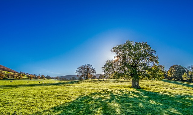
Picture: Tree by Tim Hill on Pixabay
All the Grade 7 students (11-and 12-year-olds) participated in the exercise and were divided into small groups, each of which assisted by teachers, Learning Support Educators. Grade 11 students (16-year-olds) together with project officers from the University of Malta and the Eastern Regional Council environmental manager. Each group mapped the trees of different areas of the school.
During this exercise, the students identified each tree using an application called Plantnet or Google Lens and a booklet which illustrated different local tree species. Students then measured the circumference of the trunk to determine the age of the tree. They also took a photo of each tree using a survey reference scale to find the height of the tree and the width and surface area of the tree canopy. All this data was inputted using an app called Map marker and each tree’s location was geotagged. All the data collected was sent to the Gzira Local Council for processing.
The aim of this exercise was to determine how trees impact the carbon sequestration within the area and the amount of oxygen released through photosynthesis. Moreover, the information collated will assist in determining the temperature change because of the shade provided by the canopy of trees and the natural cooling of the site through transpiration.
